Showing posts with label hiking and camping. Show all posts

Sunday, December 16, 2012

Clearing the Way

This past Friday, Tristan, Odin and I set out into the woods with hammer and saw, headed to prep the route for the upcoming Camel's Hump Challenge, a fundraiser backcountry ski tour (just a tour with friends, not a race) to benefit the Vermont Alzheimer's Association.


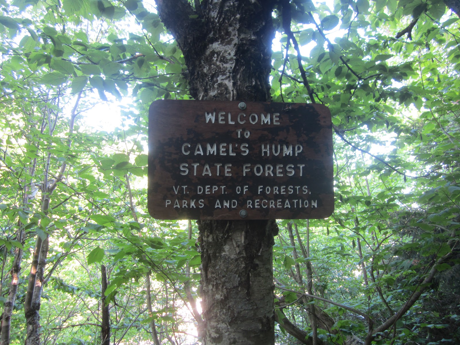
Tristan and I share the Camel as our favorite Vermont peak - we find ourselves often dreaming of its pointy undeveloped summit, and scheming for our next chance to get there. There is a mystic for us in the Huntington approach, particularly the longer Forest City route, which brings the hiker up from beneath the sheer face of the couching lion (or Camel, as it were). This is a long route, prefaced with a long drive, but it is always worth the trip. Even the shorter Burrow's Trail approach from the western Huntington side is worth the drive. But on this day we approached from the eastern side via the Monroe Trail. And it was not the summit we were after this time: We were planning to take a left off the Monroe Trail somewhere past the junction with the Dean Trail, and head into the woods for terrain seen only by the skier of the Camel's Hump Challenge, or the volunteers who prep the trail for this fabulous once-a-year ski day. (Please note, we are very familiar with this area and the route we were taking, we planned our route ahead, and also carried a map and compass, which we know how to use. Additionally, we carried headlamps, matches, bright clothing, and emergency supplies. If you are inexperienced with hiking or are unfamiliar with the terrain, please leave this type of off-trail adventure for experienced hikers - there is plenty to see and do on the many beautiful marked routes up and around the mountains of the Northeast.)

The plan for the day was to clear the trail and mark it periodically with Forest Service-approved trail markers for the Camel's Hump Challenge. The plan was also to see some beautiful terrain reserved only for those roughing it on this 13-mile backcountry ski loop, which is open for skiing only on the day of the Camel's Hump Challenge (February 10, 2013). There are unusual vantage points of the summit, beaver ponds-aplenty, and fabulous birch glades that go on for as far as the eye can see.

There were several big blowdowns to clear along the way, and many, many downed branches and debris from recent storms.The scenery along our trip was outstanding. In particular, the backcountry ice was like art work.


The trail winds through mature hardwood stands, dark evergreen forests, birch glades, and meadows. Every now and then, we would pop out of the woods on to the edge of a high-country beaver pond. These were tricky to navigate in early-winter conditions, but the views these openings afforded were stunning and made the rough-going worth it.


Happily, our faithful and trusty trail companion accompanied us the whole way.


Our turn-around point was Wind Gap, from where we planned to loop back to the Monroe Trail via the Dean Trail. We popped out of the woods on the Dean Trail and took a break and drank warm tea as we listened to the wind howl through the Gap just above us. Wind Gap is one of our favorites, and is one of only a few named "Gaps" in the Greens - it always reminds me of the many southern "Gaps" on the Appalachian Trail: Woody Gap, Neals Gap, Stecoah Gap, Newfound Gap. They marked our progress for us on that 1,200-mile hike.

We crested the sag to Wind Gap, where we stood and took it in. The view to the west showed an almost-setting sun, painting  the sky with pastel colors through the naked tree stems. A raven soared on a wind current overhead. There was total silence, save for the rushing wind and the trademark caw-ing of an on-wind Corvid.

The Trail North beckoned, as it always does - but not this day. Today, we were headed back down the mountain for a friend's art show, and some warm supper. In the end, we cleared and marked the section of the Camel's Hump Challenge route from the Monroe Trail west towards Wind Gap. Tristan tells me I saw only about one-sixth of the trail, and I am looking forward to seeing the rest of it on skis later this winter.

It is a good feeling to see the Vermont wilds, climb mountains, and give to a good cause.


Saturday, August 11, 2012

Mt. Jackson and Mizpah Hut, White Mountains

Waiting for a hike.
Crawford Notch, from the Highland Center.
Tristan and I continue to explore the White Mountains. A quick 90-minute drive typically gets us over there; good car-camping abounds at many of the state campgrounds, such as Dry River, to provide "base-camp" access; and there is so much terrain to explore - just peruse any map of the presidential range and be dazzled by the sheer number of trails! Your options for hiking in the White Mountains are plentiful.This past week, we had the privilege of exploring not only some new hiking trails, but also the AMC's Highland Center in Bretton Woods, NH.

The Center is steeped in mountain culture, from the lodge-style accommodations, to the sweeping views of Crawford Notch, to the many framed photographs of White Mountain vistas, summits and trails. The lodge staff, like everyone you meet in the mountains, are knowledgeable and friendly. The Center itself can serve as basecamp for any number of White Mountain adventures, with a fully-stocked retail area, including all the hiking essentials, an LL Bean gear room for guests, family-style meals, comfortable sleeping rooms and many nooks to tuck away with a good book or trail map, as you plan your next adventure.There is also a very nice meeting and conference center, which I would recommend to anyone planning a multi-day meeting, special event, retreat, or similar.

A stream crossing on the Webster-Jackson Trail.
The Center served as home-base for this adventure, though we camped at Dry River Campground (the Center does not allow dogs, and Odin will not allow us to hike without him). I will tell you there was nothing dry about this campground, except for the inside of our tent, thankfully, as it absolutely poured and stormed the whole night. The plan was to summit Mt. Washington the next day; both thunder and worry about an exposed hike in stormy weather kept me awake most of the night. 

This loop over Mt. Washington would have been only our second time at the top of this beautiful and majestic beast. However, the continual roll of thunder from 9pm the night before well  into the morning, plus a forecast including significant threat of thunderstorms throughout the day, suggested to us we seek an alternate destination. I don't mess around with lightning and exposure - there just aren't many places to seek safe cover on the exposed ridgelines of the Presidentials. Always play it safe, and live to hike another day is my feeling!

Summit, looking north.
Summit of Mt. Jackson.
Plan B was a new-to-us loop starting from and ending at the Center. We headed out on the Webster-Jackson trail to the beautiful summit of Mt. Jackson. At just over 4,000 feet, this summit is exposed, but not in the same way that the extended ridgelines are, which are characteristic of the Presidential Range. This hike truthfully felt more like a walk in the Green Mountains, and the summit more like a Vermont peak, save for the granite everywhere. Another distinct difference is the duration of the climb. The White Mountains seem to me to be more steep and rugged than the Greens, even when the elevation gain is similar. Overall, this was a great hike though, with steep sections punctuated with rolling walks to rest the legs. I am sure that the summit views would have been spectacular, too! 

We then headed over to Mizpah Hut for lunch. The hike north from the summit included some scrambles down wet rock, but overall I found the granite to be easier to grip my shoes to. Once we had gained the summit of Jackson, and then descended just a few hundred feet, the trail rolled along the same contour, give or take a few hundred feet, for a few miles over to and past the hut.This section of the walk included many beautiful bog bridges.

Mizpah Hut in the fog.
Mizpah Hut was a short distance from our trajectory, so we headed 200 feet down to the Hut to sit and have some lunch. Tristan and I have not experienced many of the huts (this was my third and his second) and we continue to be impressed and surprised. Personally, we prefer a more rustic campsite, but these huts make for nice places to stop, relax and eat. And it is certainly impressive to see what the AMC accomplishes in terms of service and culture. 

Alpine nature, with the Hut in the background.
After lunch, we completed our loop with a walk down the Mizpah Cutoff and then the Crawford Path - the oldest continually-used hiking trail in the continental US! This descent is fairly mellow. While rocky, there are not scrambles like what we saw coming up the Webster-Jackson trail, and the grade was mild. This would be a good trail to gain elevation for hikers that wanted to avoid steep climbs and strenuous rock scrambles. It is also a good hike for wet weather, since there are not slabs or rock to climb up or down, but rather rock steps and sandy soil.

Overall, this was an excellent hike - one of my favorites, and a loop I will do again for sure, hopefully with better vistas next time! In total, the hike was about 8 miles and included a significant climb up to Jackson, but the descent down on the Crawford path was mellow, and probably the easiest and best option for my knees! We're looking forward to an opportunity (read: a few days off from work in a row, together) to link more of these summits and huts with some of those White Mountain ridgelines!

A sign at Crawford Path's intersection with US-302 explains the history of this old trail.

If you're in the Crawford Notch/Bretton Woods/White Mountains area, this is a great hike to check out. Happy Trails!

Friday, July 27, 2012

The Long Trail's Lodge in the Sky

When Sarah and I daydream back in time to our 2001 Long Trail hike, many wonderful memories come to the surface.  The mountains, beautiful vistas, the valleys, trail magic, wild flowers and the freedom of the trail.  But one thing that can stick out when you think about all those nights on the trail, where everyday your home was somewhere new, are certain shelters along the trail. Skyline Lodge, in the Breadloaf Wilderness on the Long Trail, is one of those such places for us. We try to frequent Skyline as much as we can, both because its beautiful and because we have adopted the Green Mountain Club shelter and check in on it from time to time. The Lodge is a four-walled shelter with a big front door and two paneled windows overlooking a front porch and serene Skylight Pond; the backdrop is a long-range mountain view. Its such a special place. The Lodge can be accessed  either from the Long Trail, hiking North or South, depending on where you get on to the trail. Accessing the lodge from the south is the shorter of the two options and the better option for a day hike. A good access point is Route 125 (Middlebury Gap), where the trail crosses at the height of land. This hike is a beautiful 5-mile stretch of rolling terrain. Alternatively, there is a blue-blazed side trail, the Skylight Pond trail which can be accessed by turning off the Middlebury Gap Road onto a dirt road (clear instructions are given in the Long Trail Guidebook). This hike is one of our favorites: 2.5 miles of beautiful switchback climbs alternated with long slabs across the hillside make this a mellow approach through beautiful hard- and softwood forests. We highly recommend hiking to this Lodge, using either route. If you're short on time or are concerned about distance, take the Skylight Pond Trail - you won't regret it

Here are some pictures from our recent hike out there:


Have fun out there!

T&S


Sunday, June 17, 2012

Walking Monroe's Skyline

There are many beautiful places in Vermont, and many of them can be found on Vermont's iconic Long Trail. Sarah and I had the opportunity to see some of these beautiful places when we thru-hiked the LT in 2001.  Since hiking many other places, including  the John Muir Trail in the High Sierra and The Appalachian Trail from GA to Va and then CT to VT, we decided to settle here in Vermont to be closer to the beautiful places we found in Vermont.

One such place that has captured our imaginations is the Monroe Skyline and this is where we found ourselves one recent day. Spanning about 12 miles, the Skyline runs from Lincoln Gap (at Lincoln Gap Road) to Appalachian Gap (at Vermont-17). The Skyline is flanked by Mt. Abe and Mad River Glen as its shoulders, with Mt. Ellen, Nancy Hanks Peak, and Mt. Ira Allen between the two. Once you climb one shoulder, you stay high up on the ride for the majority of your day - a nice place to be, for sure.

With a good hiking friend to leave a car at each gap and an early start, anyone well prepared can accomplish this well-known ridge. Both Mt.Abe and Mad River Glen (to Stark's Nest) are fun hikes on their own, and you will most likely meet many great people on both mountains; but you can find the ridge all to yourself when linking this gap-to-gap hike. On this recent day, we did just that: We met some new friends at Mt. Abe, including a Long Trail thru-hiker, and then found the ridge run all to ourselves.

The first landmark when hiking north from Lincoln Gap is Battell shelter, only 1.8 miles in from Lincoln Gap Road. This is often one of our favorite weekday overnight stays on the LT, where we can pack to leave after work, hike up to Battell and spend the night, then wake early in the morning summit Abe, and descend back to home in time for work!

Often when we get to the top of Abe, when this is our destination, we look to the north and remember that wonderful ridge line: the Monroe Skyline. We are always tempted to keep going. Finally, on this recent day, more than ten years after our thru-hike, we got to keep going North! It's such a great feeling to head out with you backpack, your good shoes, and a day's worth of supplies for a long walk in the mountains.

This trip over Monroe Skyline was originally intended to be a two-day trip, with a quick hike in to spend the night at our favorite Battell shelter, followed by a day of hiking. It's a wonderful feeling to wake up in the woods and know you have a good long walk ahead of you. Alas, this two-day plan was stopped by the weather - a series of particularly strong storms, represented to us as red and purple blotches on the radar headed right for our destination Skyline. We turned around and called off the overnight portion after driving through large hail on the highway! Which was just as good: We made it to a friend's party, slept soundly in our own beds, ate a hearty breakfast, and headed out into a beautiful morning to hike! Our decision was validated when we met a thru-hiker moving south on top of Mt. Abe - he had watched last night from Stark's Nest as a monster thunder cloud seemed barreled down right on the summit. Evidence of this direct hit was littered all over the trail up to Abe in the form of leaves, small branches, and other debris strewn about. I'm sure we would have been fine; we have weathered many severe storms in the woods and mountains. Still, it is one thing to find yourself in a storm on a trip: You hunker down at camp with a good book or game and cook dinner in your vestibule. It's actually quite exciting! But to walk out directly into a storm seemed like a poor decision. And it all worked out - we still got in a great hike! Here are some pictures from our day hike along the Skyline Trail: